


Understanding Ski Maps
If you’re going skiing for the first time, then you’ll need to be able to navigate the resort. Fortunately, there’s a tool that will allow you to do this fairly easily: the piste map. Rather than being a top-down view of the area, this is more of an abstract diagram, a little bit like a tube map. You’ll get an idea of the relative heights, shapes, and lengths of the various trails – but there are a few components whose meaning might not be obvious at first.
Let’s take a closer look at the ski map, and how to read it.
Deciphering the Symbols and Colour Codes
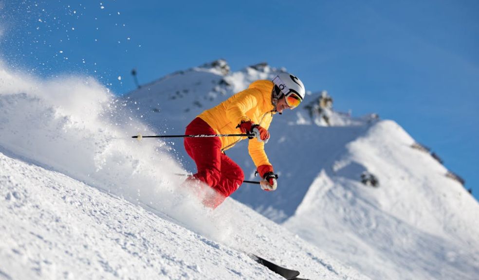
In almost every ski resort, the difficulty of each slope is described via a colour code. Green slopes are very easy, blue slopes are easy, red slopes are trickier, and black slopes are the most difficult.
Of course, what counts as difficult will vary from country to country. You might find that a red slope in one country might be considered black in another. You can ask around and get an idea of the differences, but the only way to truly be sure is to get onto the slopes yourself.
There are also a few other symbols and trails to be aware of. The most important of these are the lifts, which tend to be represented as black lines with symbols on them representing the kind of lift it is.
Planning Your Route
By planning your route carefully, you can avoid getting stuck in a situation where you have to descend via a slope that’s more difficult than you’re really comfortable with. You’ll also be able to plan rest stops along the way. When you’re first getting started, you’ll want to plan a simple route that leads you back to where you started. You’ll descend via slopes, and ascend via lifts. Most resorts are designed in such a way that you can reach everywhere via a combination of the two.
Maps will naturally vary from country to country, and the variations extend beyond slope difficulty. For those enjoying ski holidays in Austria, being familiar with the local ski maps can make the experience both safer and more enjoyable.
Using Ski Maps for Safety
Your ski map isn’t just a convenience; it’s a way of limiting your risk. If you’re an experienced skier or snowboarder, and you’d like to head off-piste, then a map might indicate where the avalanches are most likely. You’ll also be able to see where patrols are, and where you can stop for medical aid. Larger lifts will be staffed, meaning that you’ll be able to stop there if you need help.